
News
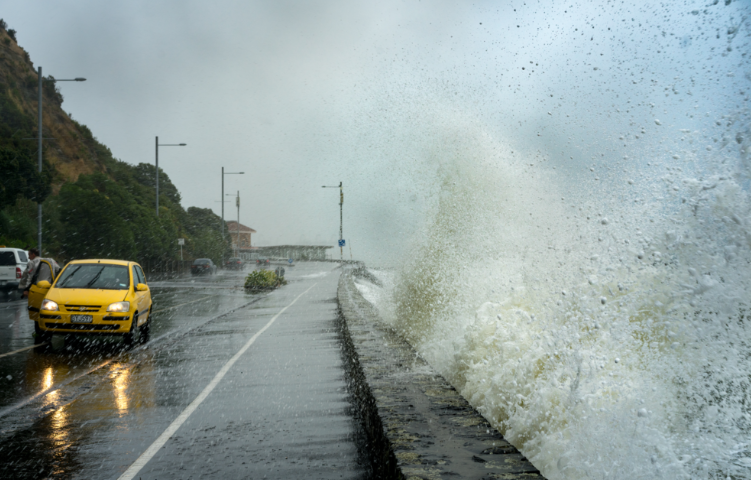


Future NZ roading costs due to sea-level rise
Roading infrastructure is critical to our social and economic wellbeing. In coastal areas, sea-level rise, often combined with land sinking through vertical land motion, means that some road networks are at risk from sporadic flooding during severe events and/or permanent inundation.
RiskScape was employed to evaluate roads exposed to flooding, calculate losses every 10m2 across the exposed road network and enumerate losses by region.
The supercomputer calculating our risk—podcast
This debut podcast episode dives into how cutting-edge technology is helping us better understand and prepare for New Zealand’s natural hazards. Dr Nick Horspool joins the conversation to unpack how the RiskScape-powered supercomputer models real-world disaster scenarios—from closed roads after an Alpine Fault quake to volcanic ash on rooftops and the effectiveness of sea walls against tsunamis.
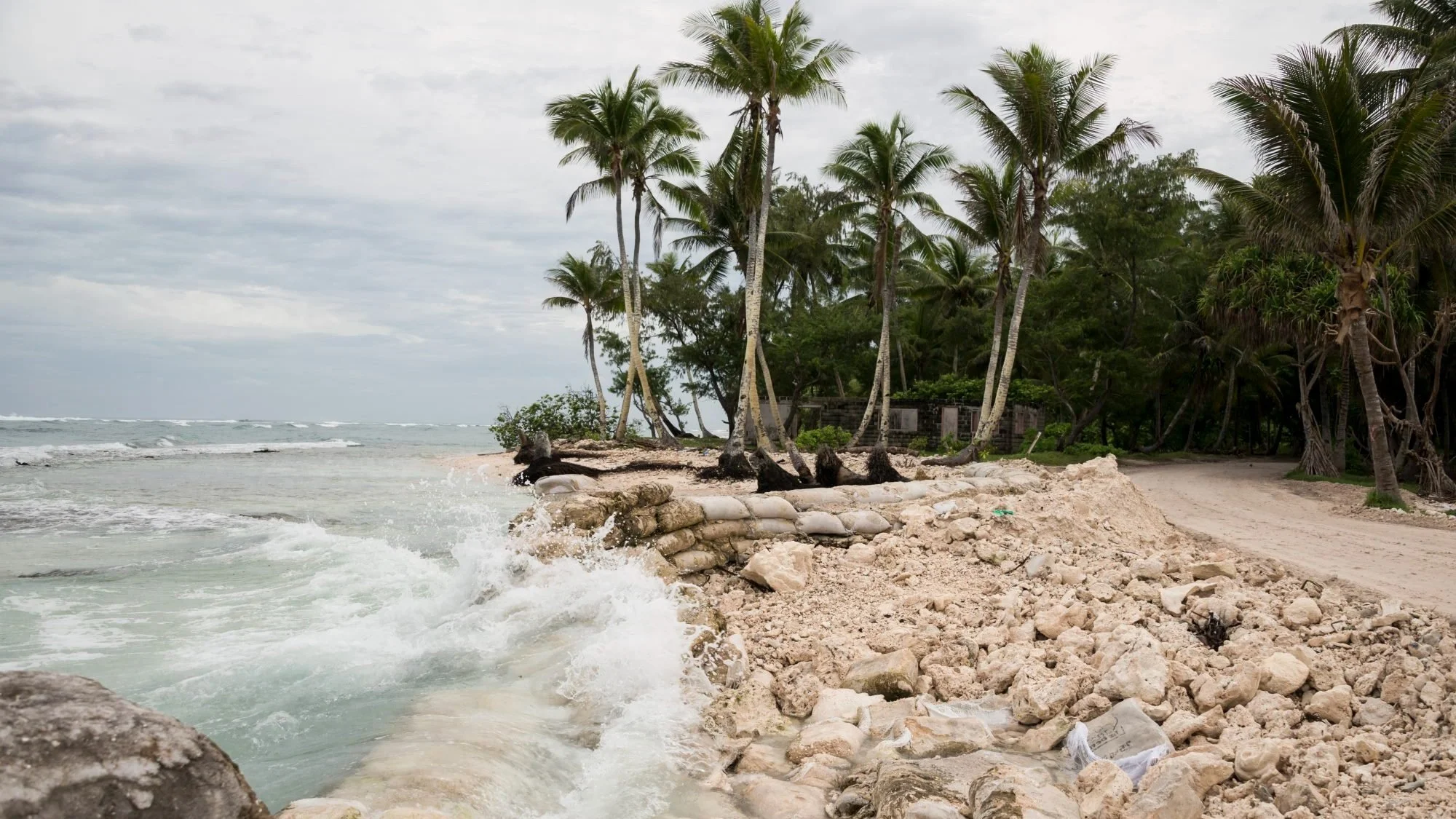
Coastal inundation risk in the Pacific
Researchers created national sea-level risk profiles for populations, buildings, croplands & infrastructure under present & future climate scenarios.
Powering loss modelling tool PRUE
Understanding the impact of natural hazards on people and property is critical for the Natural Hazards Commission (NHC) Toka Tū Ake. Knowing what to expect from future natural hazard events allows them to plan and prepare for New Zealand’s physical and economic security.
Modelling landslide impact from Cyclone Gabrielle
During Cyclone Gabrielle, the RiskScape software tool was applied to a real-life situation, allowing decision-makers to prioritise their cyclone preparedness, response, and recovery activities in real-time.
Microsites for rapid impact assessment & recovery after Cyclone Gabrielle
The rapid impact assessment tool provides a scenario model framework to rapidly assess natural hazard exposure or impacts.
Award winning RiskScape team
Proud winners of the Best Hi-Tech Solution for the Public Good award at the 2022 NZ Hi-Tech Awards.